
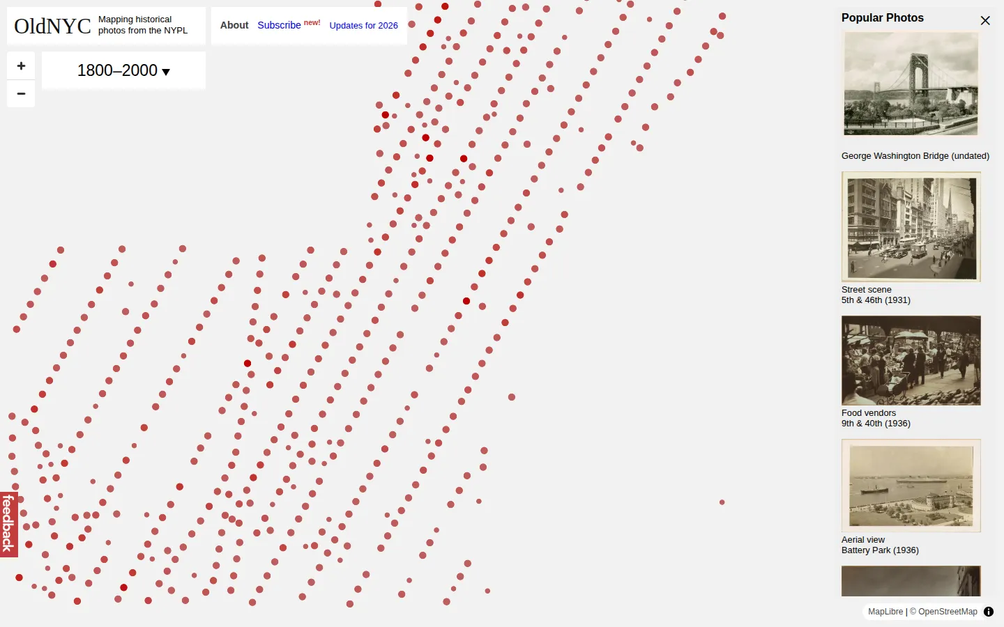
OldNYC places historical New York City photographs onto a map, turning an archive into a neighborhood walk through time. Start with a location you know, then follow the image trail toward vanished storefronts, construction sites, parks, facades, and the small background details that ordinary history books rarely stop to notice.
What is OldNYC?
OldNYC makes a simple but powerful swap: instead of browsing a photo archive by collection record, you browse it by place. The site maps historical images from the New York Public Library's Milstein Collection, so a familiar location can become the starting point for a much older view of the city. That shift changes the experience from looking at history to locating yourself inside it. The official project description explains that the creators geocoded photographs, separated individual images from larger scans, and used text recognition to bring caption material into the site. Those behind-the-scenes steps are the invisible gears that make a street-level search feel possible. The source collection spans New York City photographs from roughly the 1870s through the 1970s, but any individual record can have uncertainty around its caption, date, or location. NYPL describes OldNYC as an alternative way to browse its photographic collection, which is exactly the right frame: a discovery tool that points toward a richer archive. The map and image viewer were not opened during this profile, so their current controls remain untested. Still, the invitation is immediate. Pick a block you have walked, a building you have wondered about, or a park bench with a view, and see whether the city kept a photograph waiting nearby.
What you can do there
- Browse a map
- Find historical photographs by place
- Compare a location with its past
Why we picked it
City history can feel enormous until a map lets you ask one manageable question: what happened here? OldNYC makes that question visual and local. It turns archival photography into a form of urban wandering, where a familiar address becomes a doorway rather than a footnote.
How to get the most from it
Begin with a place you know well, then move outward one block at a time instead of trying to survey the whole city. Read captions with curiosity but keep their limits in mind, and use the linked library material when a photograph sends you down a deeper rabbit hole. If you spot a transcription or location issue, use the site's current contribution options rather than assuming the first label is final.
Good to know
OldNYC is a discovery layer for historical photographs, not a guarantee that every mapped image, caption, date, or location is complete or error-free. The project says it uses geocoding and recognized text, both of which can introduce uncertainty that deserves checking against the underlying library records. The map, viewer, comments, transcription tools, apps, accessibility features, and performance were not tested for this profile.
Open OldNYCMore like this
Histography

A dense timeline where eras collapse into a field of small historical sparks.
Steve's Old Computer Museum

A wonderfully dusty filing cabinet of computers from before beige boxes learned to hide their weirdness.
Wayback Machine

A time machine for webpages, complete with a calendar and the occasional missing wire.
Bartosz Ciechanowski

Science essays with levers, sliders, and a knack for making machinery behave.