
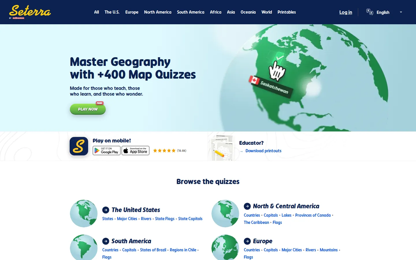
Seterra is a deep geography-practice shelf: choose a region or subject, then head into a focused map quiz covering places, capitals, flags, landforms, and more. The current catalog is easy to scan, labels play as free, and now hands its quiz links over to GeoGuessr.
What is Seterra?
This is geography with the sightseeing edited out. Seterra's front page sorts a very large quiz collection by region and topic, so you can jump from U.S. rivers to African capitals, European flags, world physical features, or even anatomy and science without hunting through a maze of lesson plans. The quiz catalog advertises pin and typed-answer modes, keeping the work centered on recall rather than trivia chatter. That narrowness is the point: pick one patch of the planet, miss a few labels, and keep circling until the map stops feeling slippery.
What you can do there
- Choose a geography topic and open a map quiz
- Practice place names in pin or type mode
Why we picked it
Few study tools make geographic weak spots this easy to target. The catalog is broad enough for a classroom warm-up or a private grudge match with the provinces of Canada, yet the premise stays admirably plain: practice one map until it sticks.
How to get the most from it
Start with a small region or a familiar topic, repeat the same quiz, and only then widen the map. Switching from pinning locations to typing names can expose the difference between recognizing an answer and actually recalling it.
Good to know
The landing page labels play as free and includes login, mobile, support, and printable-material links. Quiz destinations now sit on GeoGuessr; exact account rules, live accessibility behavior, ads, audio, and device support are not confirmed here. Expect drill practice rather than cultural or historical explanation.
Who made it, and when?
Marianne Wartoft is the credited creator or organization. The earliest supported launch date we found is 1997.
Open SeterraMore like this
Close Hue

A daily test of whether ‘mauve’ in your head has any relationship to mauve on a screen.
Sudoku.com

Six difficulty rungs, pencil notes, and a daily grid—with a three-strike rule
Riddle of the Day

One thoughtful logic problem a day, with an archive for second helpings.
Dino Pal

Five tiny conference warm-ups disguised as a puzzle box with a very large logo on it.