
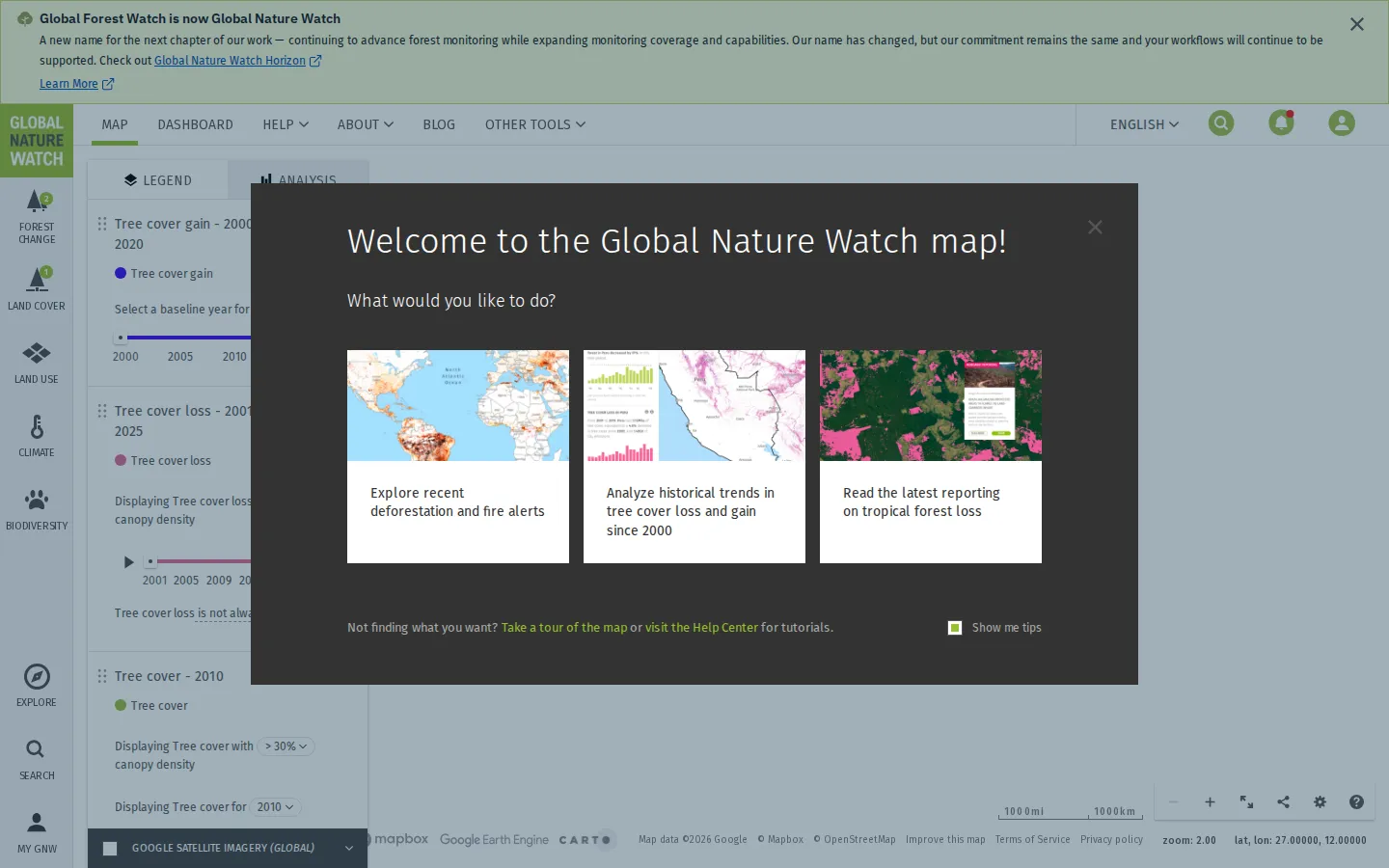
The map formerly known as Global Forest Watch gathers tree cover, fires, land use, climate, biodiversity, and satellite-derived disturbance alerts into one explorable globe. It can turn a broad environmental question into a specific place and layer, provided you read the legend as carefully as the colors.
What is Global Forest Watch Map?
Global Nature Watch opens with several sensible routes into a very large toolbox: recent deforestation and fire alerts, historical tree-cover change, or current reporting. From there, the map's indexed surfaces expose groups for forest change, land cover, land use, climate, and biodiversity, with search, legends, and analysis attached. That breadth is the attraction and the trap. One layer may describe annual loss, another a near-real-time disturbance signal, and another a baseline forest class; they are not interchangeable shades of green. The platform is strongest when treated as an investigation desk rather than a magic answer machine: locate a place, choose a dataset for the question, inspect dates and methods, and use alerts as leads that may need imagery or field verification.
What you can do there
- Explore forest and vegetation-change layers
- Inspect deforestation and fire alerts
- Analyze tree-cover trends for places and areas
Why we picked it
Few public maps let a casual visitor move so quickly from the whole planet to the evidence around one patch of forest. The map also has serious working uses: external assessment describes monitoring and alert workflows, while news reporting has used its satellite-derived data to explain wildfire conditions. Its usefulness comes with unusually visible methodological homework, which is a feature rather than a flaw.
How to get the most from it
Start with a place, not every layer at once. Pick one question such as recent disturbance, long-term tree-cover loss, or fire activity; then read that layer's date range, resolution, definition, and confidence notes before comparing areas. Save or subscribe only after the map supports the location and timeframe you actually care about.
Good to know
Global Forest Watch changed its name to Global Nature Watch on July 1, 2026; existing map workflows continued under the new name. Core data and analysis are free, while saved areas and alerts use an account. Satellite alerts are signals for investigation, and independent research warns that forest datasets can disagree substantially when their definitions and resolutions differ.
Who made it, and when?
World Resources Institute is the credited creator or organization. The earliest supported launch date we found is 2014. A documented update was recorded July 1, 2026.
Creator’s official page Open Global Forest Watch MapMore like this
OneZoom Tree of Life

Zoom through the evolutionary tree connecting millions of living species.
WindowSwap

Borrow someone else's window for a quiet view of another life and place.
OCEARCH Shark Tracker

A map where each dot has teeth and a travel itinerary
Is it dark outside?

A one-word verdict for a question your window could answer