
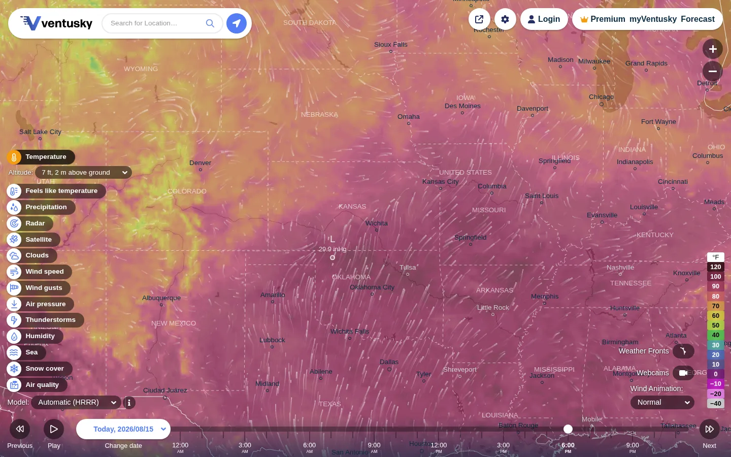
Ventusky lays weather data across an interactive map, letting visitors move through forecast periods and inspect layers such as wind, rain, radar, and temperature.
What is Ventusky?
Ventusky takes the weather out of the tiny daily icon and spreads it across a map where wind, rain, radar, temperature, and other conditions can occupy the same moving stage. Pick a place, choose a layer, and let the forecast advance rather than treating tomorrow as a single mysterious cloud with sunglasses. The useful bit is not merely the animation; it is the reminder that different weather models can tell slightly different stories. Ventusky identifies the data sources it visualizes and explains that models are simplified views of a very unruly atmosphere. Use the map to understand the pattern, then keep an eye on official local warnings when decisions actually matter.
What you can do there
- Explore weather layers on a map
- Choose a location
- Move through forecast time
Why we picked it
It turns forecast checking into a spatial habit. Watching a weather pattern move across a map can make the difference between a breeze, a front, and a messy afternoon feel more tangible than a row of symbols.
How to get the most from it
Search for a place or choose one on the map, select the weather layer you care about, and use the timeline to inspect nearby forecast periods. Compare the displayed model information when available, especially if a plan depends on a narrow weather window.
Good to know
The map was not operated for this profile. Current layers, radar coverage, model controls, location permissions, premium limits, accounts, mobile support, animation settings, and accessibility should be confirmed in the live service.
Open VentuskyMore like this
The Pudding

Visual essays that use code, data, and interaction to explain culture unusually well.
Earth Nullschool

A living globe of wind, weather, ocean currents, and atmospheric motion.
The True Size Of…

Drag countries around the map and watch familiar size comparisons fall apart.
MapCrunch

Drop into a random street-level view somewhere in the world and figure out where you landed.