
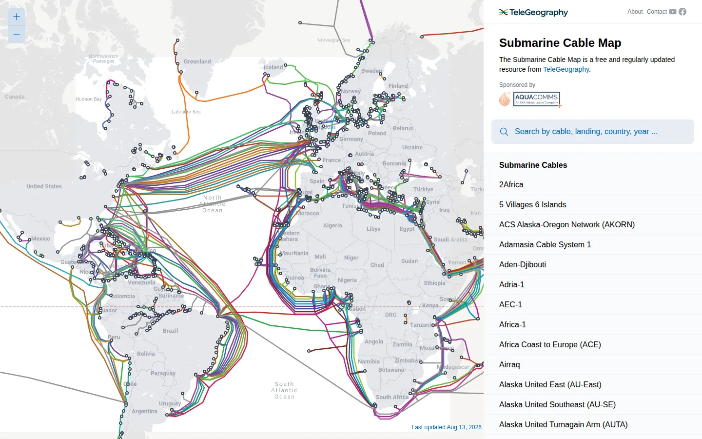
Submarine Cable Map reveals the long, thin routes that carry international connections beneath the sea. It turns a usually invisible layer of the network into a globe-spanning map of cable systems and their landing points.
What is Submarine Cable Map?
Most of the internet feels airborne until you look at where it actually crosses an ocean. Submarine Cable Map pulls that hidden geography up to the surface, showing the cable systems that travel between coasts and the landing stations where they meet land again. The pleasure is partly practical and partly cartographic. Follow a route across a sea, then notice how many lines bunch at particular shores, islands, and narrow passages. A map of infrastructure can sound dry, but this one has the quiet drama of a transit diagram drawn at planetary scale: every curve suggests a very physical answer to how a message gets from here to there.
What you can do there
- Explore submarine cable systems
- Locate cable landing stations
- Follow global connectivity routes
Why we picked it
It makes an abstract network tangible. The map rewards both a quick look and an unhurried wander, especially once you begin spotting the coastlines where global connections concentrate.
How to get the most from it
Start with a country or ocean you know, then trace the nearby lines outward. Use the named systems and landing points as anchors rather than trying to read the entire globe at once.
Good to know
The map is maintained as a changing reference, so route and status details can move over time. It is best used to understand the shape of global connectivity, then checked against current operator or outage information for operational decisions.
Open Submarine Cable MapMore like this
The Pudding

Visual essays that use code, data, and interaction to explain culture unusually well.
Earth Nullschool

A living globe of wind, weather, ocean currents, and atmospheric motion.
The True Size Of…

Drag countries around the map and watch familiar size comparisons fall apart.
MapCrunch

Drop into a random street-level view somewhere in the world and figure out where you landed.