
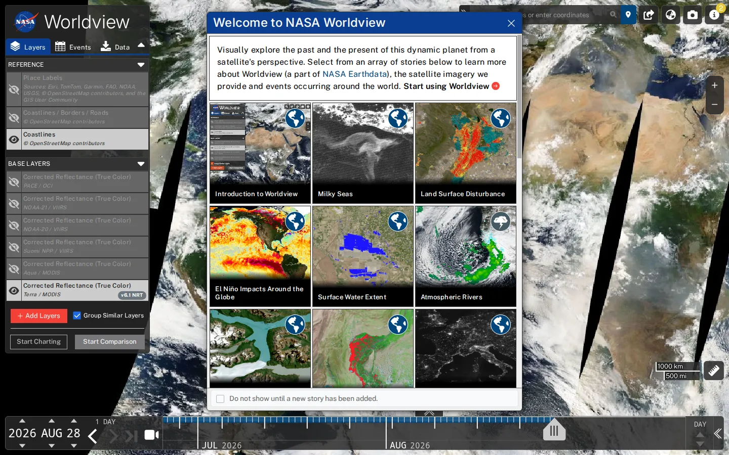
NASA Worldview turns a deep catalog of Earth-observation imagery into a map you can roam by place, date, and scientific layer. It is equally good for following a current plume or storm and for rewinding the planet, though the wealth of controls rewards a little patience.
What is NASA Worldview?
The globe arrives with recent true-color satellite views and a timeline, while the layer panel opens the door to weather, fires, atmosphere, oceans, ice, vegetation, and much more. Add datasets, move backward through dates, or compare two map states with a swipe, opacity blend, or circular spy window. Worldview can also produce animations and snapshots, and selected layers hand off their underlying data for download. The result feels less like admiring a static space photo and more like rummaging through Earth's very large, very serious flipbook.
What you can do there
- Browse recent and historical satellite imagery
- Add and reorder science data layers
- Compare imagery across dates or layers
- Create animations, snapshots, and shareable map states
Why we picked it
Few maps make both today's cloud bands and decades of planetary change feel this close at hand. The pleasure is immediate, but the same interface also turns up in classrooms and published environmental research, so every detour has real scientific weight behind it.
How to get the most from it
Start with a familiar place, then move the date backward a day or a year before adding layers. Try comparison mode when the question is about change; use Swipe for a clean before-and-after, Opacity for blending, and Spy for a focused patch. Layer names and dates travel in the URL, which makes a useful view easy to revisit or share.
Good to know
Browsing the map is free and independent guidance says it needs no registration, but downloading some underlying datasets can require an Earthdata Login. This review used non-rendering retrieval, so live performance, mobile behavior, animation, privacy prompts, and full accessibility remain untested. Satellite layers also differ in resolution, freshness, coverage, and scientific caveats.
Who made it, and when?
NASA Earth Science Data and Information System (ESDIS) is the credited creator or organization.
Creator’s official page Open NASA WorldviewMore like this
The Pudding

Visual essays that use code, data, and interaction to explain culture unusually well.
Earth Nullschool

A living globe of wind, weather, ocean currents, and atmospheric motion.
The True Size Of…

Drag countries around the map and watch familiar size comparisons fall apart.
MapCrunch

Drop into a random street-level view somewhere in the world and figure out where you landed.