
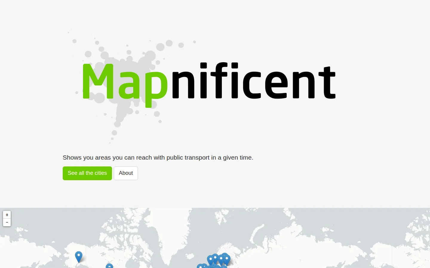
Mapnificent starts with a practical question: how much city can public transit put within reach in a chosen amount of time? Its directory spans well over a hundred places, turning access into a map-shaped estimate rather than a stack of route searches. The current build openly says features are missing, so treat it as an exploratory sketch, not a journey guarantee.
What is Mapnificent?
Choose a city and Mapnificent loads that area's transit data for a travel-time map. The core idea is an isochrone: begin with a location and a budget of minutes, then read the highlighted region as an estimate of where buses, trains, and walking connections might carry you. That inversion is the fun part—nearby and reachable are not always the same thing. It can make loose questions about commutes, meeting places, or neighborhood access visible in one glance, provided you keep one eyebrow raised at the timetable.
What you can do there
- Browse supported cities
- Estimate areas reachable by public transport within a time limit
Why we picked it
Most maps wait for a destination; Mapnificent begins with a handful of minutes and lets the possible destinations emerge. The premise turns transit access into a shape you can reason about, and the enormous city list makes it tempting to compare how different networks stretch or pinch a map.
How to get the most from it
Start in the city directory and choose the region you actually care about. When its transit data loads, set a starting location and compare a few time limits instead of chasing false precision. Use the resulting shape to generate possibilities, then confirm any real trip with the local transit agency's current planner.
Good to know
The project labels its results heuristic, provides no accuracy warranty, and says the current version is missing features. City data can also be old—the Chicago page carries a March 2020 update label—so this is a curiosity and planning aid, not the thing to trust when the last train matters.
Who made it, and when?
Stefan Wehrmeyer is the credited creator or organization.
Creator’s official page Open MapnificentMore like this
The Pudding

Visual essays that use code, data, and interaction to explain culture unusually well.
Earth Nullschool

A living globe of wind, weather, ocean currents, and atmospheric motion.
The True Size Of…

Drag countries around the map and watch familiar size comparisons fall apart.
MapCrunch

Drop into a random street-level view somewhere in the world and figure out where you landed.