
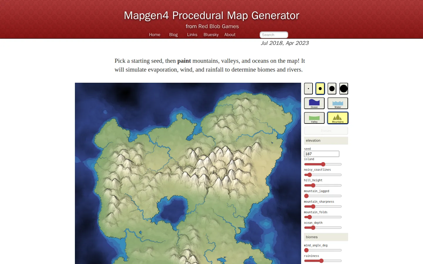
Mapgen4 is a procedural terrain workshop that begins with a seed and hands the brush back to you. Paint mountains, valleys, and ocean; the simulation fills in climate, biomes, and waterways while a deep bank of sliders reshapes both the land and its hand-drawn look.
What is Mapgen4?
This is less a one-click fantasy-map vending machine than a conversation between your brush and a small climate model. Lay down the broad geography, then adjust raininess, river thresholds, projection, tilt, and styling while the generator rebuilds the surrounding logic. The oblique three-dimensional rendering borrows the visual grammar of illustrated fantasy maps, keeping coasts and rivers overhead while mountains rise in profile. A high-resolution download is offered for maps you want to carry elsewhere, though the creator warns that export is not dependable on every platform.
What you can do there
- Paint mountains, valleys, and oceans
- Tune climate and rendering parameters
- Download a high-resolution map image
Why we picked it
Mapgen4 makes procedural generation feel legible. You are not merely cycling random seeds: each painted ridge or basin becomes a cause, and the changing rivers and biomes become its visible consequence. That feedback loop is both useful and pleasantly hypnotic.
How to get the most from it
Start with broad ocean and mountain strokes before fussing with style. Lower raininess to watch waterways retreat, adjust the minimum-flow control to reveal smaller streams, then use rotate and tilt after the geography feels right.
Good to know
The current renderer uses WebGL2. The project is free and its source is available under Apache 2.0, but towns, roads, nations, and labels are not core output features. High-resolution download may fail on some platforms.
Who made it, and when?
Amit J. Patel is the credited creator or organization. The earliest supported launch date we found is July 20, 2018. A documented update was recorded July 9, 2026.
Creator’s official page Open Mapgen4More like this
The Pudding

Visual essays that use code, data, and interaction to explain culture unusually well.
Earth Nullschool

A living globe of wind, weather, ocean currents, and atmospheric motion.
The True Size Of…

Drag countries around the map and watch familiar size comparisons fall apart.
MapCrunch

Drop into a random street-level view somewhere in the world and figure out where you landed.