
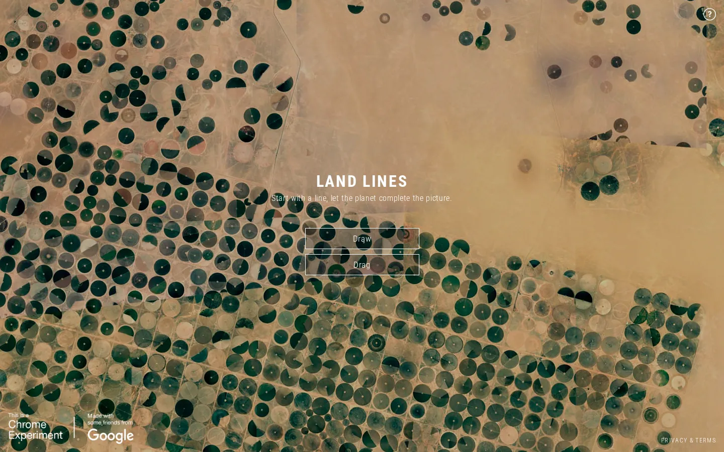
Land Lines turns a hand-drawn stroke into a search key for Google Earth imagery. Draw asks for a matching landscape; Drag stitches roads, rivers, and coastlines into a wandering visual ribbon. It is a tidy collision of cartography and doodling, provided your browser can handle its canvas-and-WebGL machinery.
What is Land Lines?
The opening choice is admirably blunt: Draw or Drag. In Draw, a stroke becomes the shape query and a satellite tile answers back. Drag keeps the gesture moving, linking image after image so a road can hand the baton to a river, then a shoreline. The pleasure is less about locating a known place than watching unrelated corners of the planet rhyme. Behind the quick response is a heavily prepared image set. The makers ran line-detection tools over more than 50,000 Google Earth images, reduced that material to useful segments, and used a vantage-point tree to find near matches in the browser. WebGL handles the visual redraws while imagery streams from Google Cloud Storage. That machinery stays mostly out of the way. What reaches the visitor is a compact visual toy: make a mark, get a geographic echo, and keep going until the planet's accidental handwriting gets strange.
What you can do there
- Draw a line to retrieve a similarly shaped landscape
- Drag to assemble a continuing chain of connected land features
Why we picked it
Land Lines makes a technical idea legible in one gesture. The same stroke can summon infrastructure, geology, water, or agriculture, and the imperfect matches are part of the charm: Earth keeps finding new ways to almost agree with your hand.
How to get the most from it
Choose Draw for a quick one-line match, or Drag when you want the imagery to keep unfolding beneath the pointer. Give the initial data a moment to load, then try both smooth curves and sharp corners; very different marks tend to reveal different kinds of terrain.
Good to know
The experiment relies on canvas and WebGL, and its data loads progressively, so older browsers or slower connections may need patience. Drag continually changes imagery as the pointer moves; motion-sensitive visitors may prefer the shorter Draw mode. An exact match is not guaranteed.
Who made it, and when?
Zach Lieberman, Matt Felsen, and Google Data Arts Team is the credited creator or organization. The earliest supported launch date we found is December 2016.
Creator’s official page Open Land LinesMore like this
Neal.fun

A cabinet of interactive ideas that makes learning feel suspiciously like play.
Quick, Draw!

Doodle against the clock while a neural network tries to guess your subject.
Sandspiel

Paint with sand, water, fire, plants, oil, and other tiny materials that react to one another.
WebGL Fluid Simulation

Push luminous liquid color around the screen and watch digital turbulence behave beautifully.