
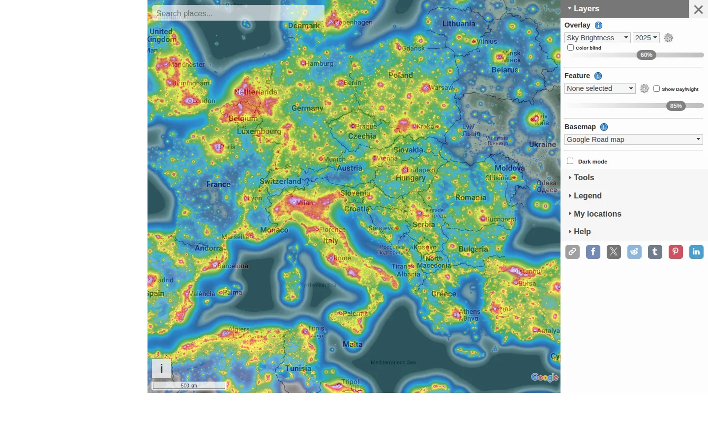
Light Pollution Map is a global, layer-rich atlas for investigating artificial light after dark. It combines satellite-derived views, modeled sky brightness, community measurements, and practical skywatching context into one very inspectable globe.
What is Light Pollution Map?
A dark-sky hunt usually starts with a map, then immediately becomes a stack of caveats. Light Pollution Map embraces both parts. Its official guide documents satellite-light layers, modeled sky brightness, contributed measurements, cloud and aurora context, observatories, and tools for asking questions about a point or an area. It is built for the moment when a distant dim patch starts looking like a promising weekend. The useful trick is to treat it as a large-scale clue board, not a cosmic guarantee. A color field can show a pattern worth investigating, but local clouds, terrain, temporary lighting, access, and the particular overlay all still matter. The map's own help is unusually frank about those distinctions, which makes it more useful for planning and comparison than for pretending a single number settles the night.
What you can do there
- Explore light-pollution layers
- Inspect map locations
- Compare sky-brightness context
Why we picked it
It lets a visitor move from vague stargazing optimism to a more grounded question: what does this place look like across several kinds of night-sky evidence? The mix of broad satellite context and location-oriented tools rewards careful curiosity rather than a quick color-code verdict.
How to get the most from it
Search for a place, choose the layer that matches your question, and inspect the legend before drawing conclusions. Compare more than one source of context, then pair any promising spot with current weather, moon conditions, safe access, and an on-site check.
Good to know
Map values are derived from different sources and models, not a live promise of what your eyes will see. The official guide also notes limits in the underlying satellite data, including cloud coverage and sensitivity to some kinds of lighting.
Open Light Pollution MapMore like this
The Pudding

Visual essays that use code, data, and interaction to explain culture unusually well.
Earth Nullschool

A living globe of wind, weather, ocean currents, and atmospheric motion.
The True Size Of…

Drag countries around the map and watch familiar size comparisons fall apart.
MapCrunch

Drop into a random street-level view somewhere in the world and figure out where you landed.