
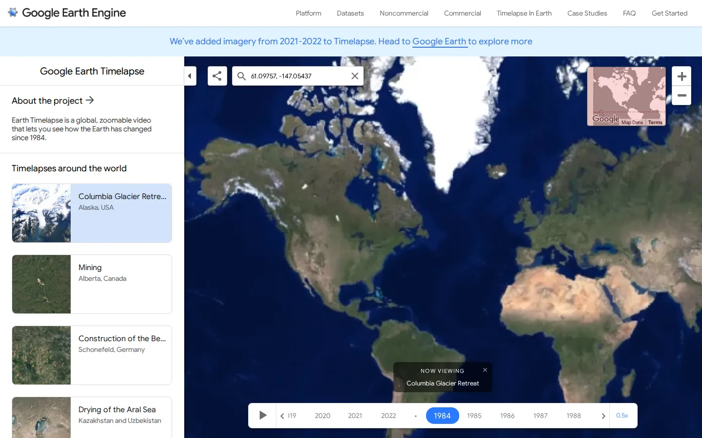
Google Earth Timelapse compresses annual satellite imagery from 1984 through 2022 into a navigable view of planetary change. Pick a place and decades begin sliding past: coastlines shift, cities spread, forests thin, and engineered geometry appears in unlikely corners.
What is Google Earth Timelapse?
The premise is wonderfully blunt: give the whole planet a timeline and let the map do the talking. Timelapse turns an enormous archive of Landsat and Sentinel imagery into a zoomable sequence, so changes that normally creep beneath daily notice become legible in seconds. The best visits start with somewhere familiar—a hometown edge, a reservoir, an airport—and then jump to one of the large-scale transformations Google highlights. It works as both a curiosity engine and a visual reminder that geography is less still than a paper atlas suggests.
What you can do there
- Navigate to a place and watch annual satellite imagery change
- Compare long-term landscape and city changes
Why we picked it
Few map tools deliver such a quick before-and-after jolt at global scale. A growing city can look like spilled circuitry, while a retreating glacier or wandering river makes decades feel startlingly short. The subject matter supplies the drama; the interface's job is to get out of its way.
How to get the most from it
Search for a place you know, zoom until roads or shorelines become recognizable, then let the years loop. After that personal calibration, compare a fast-growing city, a mine, a river delta, and an ice field; the contrast makes the timeline much more revealing.
Good to know
The imagery is an annual, processed overview rather than a survey record for a particular address or day. Expect continuous visual motion and substantial map media. This review did not render the live controls, so current loading, accessibility, device behavior, privacy prompts, ads, and popups remain unverified.
Who made it, and when?
Google is the credited creator or organization. The earliest supported launch date we found is 2013. A documented update was recorded April 4, 2023.
Creator’s official page Open Google Earth TimelapseMore like this
The Pudding

Visual essays that use code, data, and interaction to explain culture unusually well.
Earth Nullschool

A living globe of wind, weather, ocean currents, and atmospheric motion.
The True Size Of…

Drag countries around the map and watch familiar size comparisons fall apart.
MapCrunch

Drop into a random street-level view somewhere in the world and figure out where you landed.