
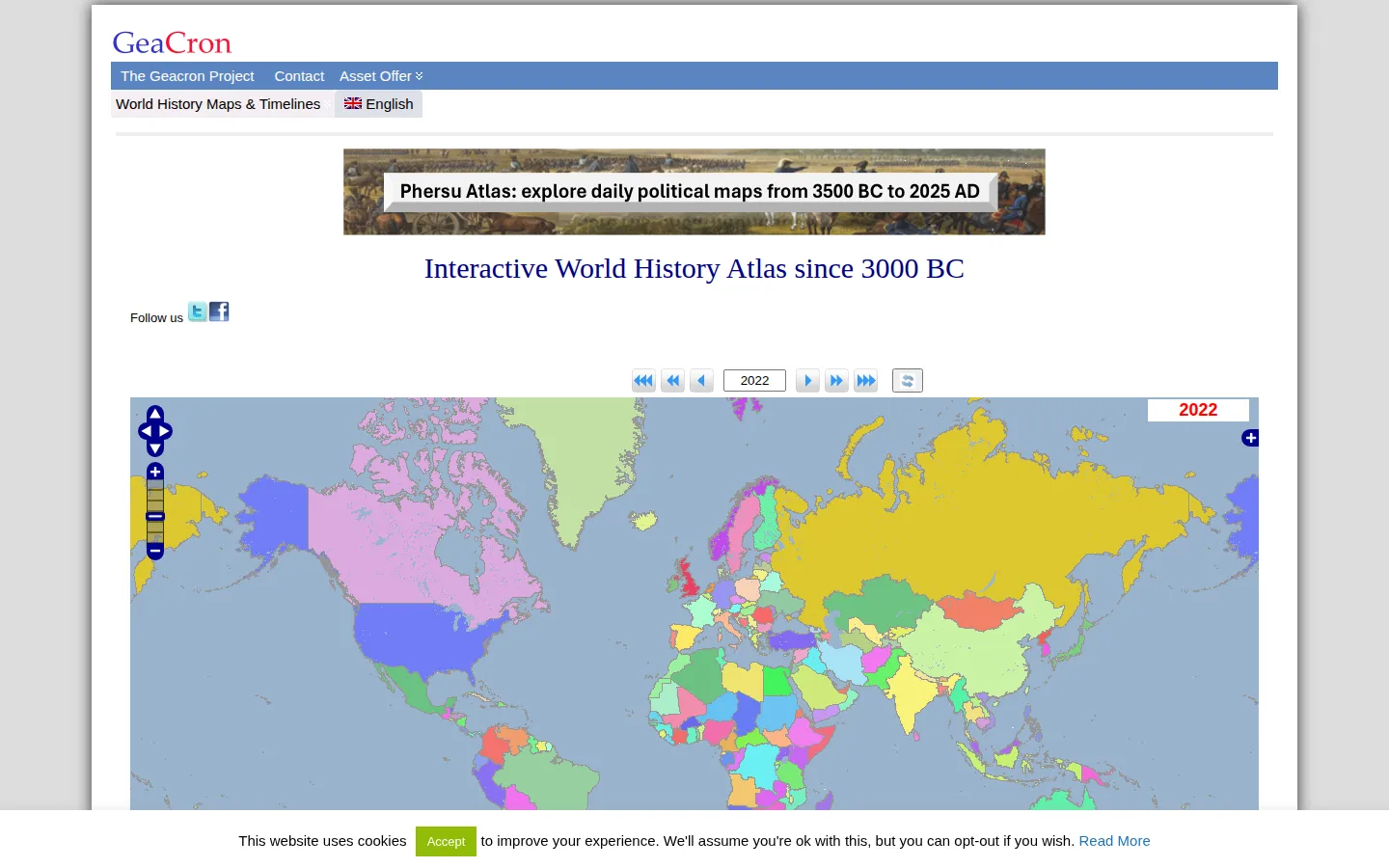
GeaCron lets a historical year become the center of the map. Choose a date, roam across the political geography recorded for that moment, and use timelines or searches to connect a place, event, or entity to the wider historical shuffle.
What is GeaCron (History Map)?
GeaCron turns the world map into a year-by-year flipbook of political geography. Its atlas is built around a chosen date: select one, pan to a region, and compare the borders and entities it records for that slice of time. The accompanying tools go beyond just looking; the official feature list includes searches for areas, cities, and events, plus timelines that place political, military, artistic, philosophical, literary, and scientific material alongside the map. It is especially satisfying when a familiar country shape gives way to an older puzzle of kingdoms and empires. Use it as a way to ask better historical questions, then follow its linked context and outside sources for the longer answer.
What you can do there
- Select a historical year
- Explore changing political maps
- Search places and events
Why we picked it
Most history maps arrive as a fixed snapshot. GeaCron gives the calendar a handle, so a visitor can pull one year forward or backward and watch the political map rearrange itself. That makes a timeline feel less like a row of dates and more like terrain in motion.
How to get the most from it
Choose a year first, then zoom toward the region or entity that interests you. Search by area, city, or event when a map label is too broad, and pair the map with the available timelines to compare developments across fields. Try two nearby years to make a border change easier to spot.
Good to know
A historical map is an interpretation, not a neutral photograph of the past. GeaCron’s own methodology notes that sources can disagree about borders and dates, particularly in ancient history, and that some dates are approximate. Check its linked context and independent history sources before treating a boundary as settled.
Open GeaCron (History Map)More like this
The Pudding

Visual essays that use code, data, and interaction to explain culture unusually well.
Earth Nullschool

A living globe of wind, weather, ocean currents, and atmospheric motion.
The True Size Of…

Drag countries around the map and watch familiar size comparisons fall apart.
MapCrunch

Drop into a random street-level view somewhere in the world and figure out where you landed.