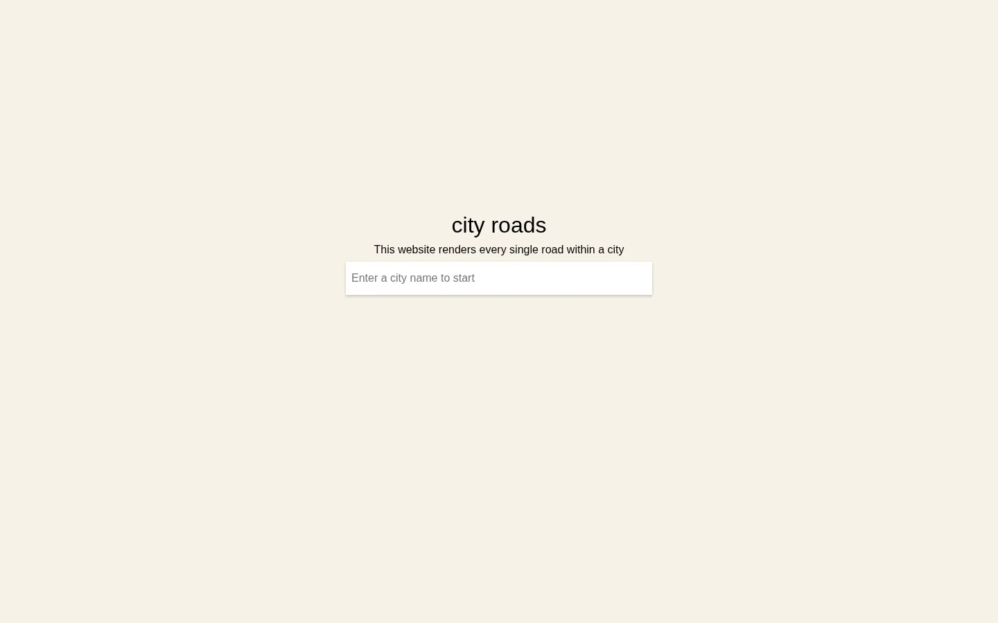
City Roads lets you choose a place and watch its road network become the whole picture. With labels and landmarks out of the way, a familiar city can turn into a dense knot, a neat grid, or a surprisingly delicate piece of line art.
What is City Roads?
City Roads offers a pleasingly blunt premise: choose a city, then draw its roads all at once. The result is a view of urban space with most of the usual map chatter removed. What remains is the route-making instinct of a place—the grids, spokes, bends, and strange little tangles that are easy to miss when you are looking for a particular address. The project’s documentation says it draws from OpenStreetMap via the Overpass API, which explains both the breadth of the idea and some of its necessary rough edges. Fetching many roads can be rate-limited or slow, and community discussion records that some city searches are limited by the available geographic boundaries. That is part of the charm as well as the caveat: this is a visualization for seeing patterns, not a navigation instrument.
What you can do there
- Search for a city
- Render its road network
Why we picked it
It changes the way a city looks without needing to decorate the data. The same road network can read like a leaf vein, a circuit board, or a hurried sketch, and the pleasure comes from recognizing a familiar place after its names have been taken away.
How to get the most from it
Search for a city you know well first, so the unexpected shape has something to push against. Then try a city with a very different geography or street plan and compare the two. Treat the output as a visual portrait rather than a map for travel decisions.
Good to know
City Roads uses OpenStreetMap data through the Overpass API; the project notes that requests can be slow or rate-limited. We did not search or render a city, so matching, coverage, zoom, export, performance, accessibility, privacy, advertising, and mobile behavior still need a hands-on check.
Open City RoadsMore like this
The Pudding

Visual essays that use code, data, and interaction to explain culture unusually well.
Earth Nullschool

A living globe of wind, weather, ocean currents, and atmospheric motion.
The True Size Of…

Drag countries around the map and watch familiar size comparisons fall apart.
MapCrunch

Drop into a random street-level view somewhere in the world and figure out where you landed.